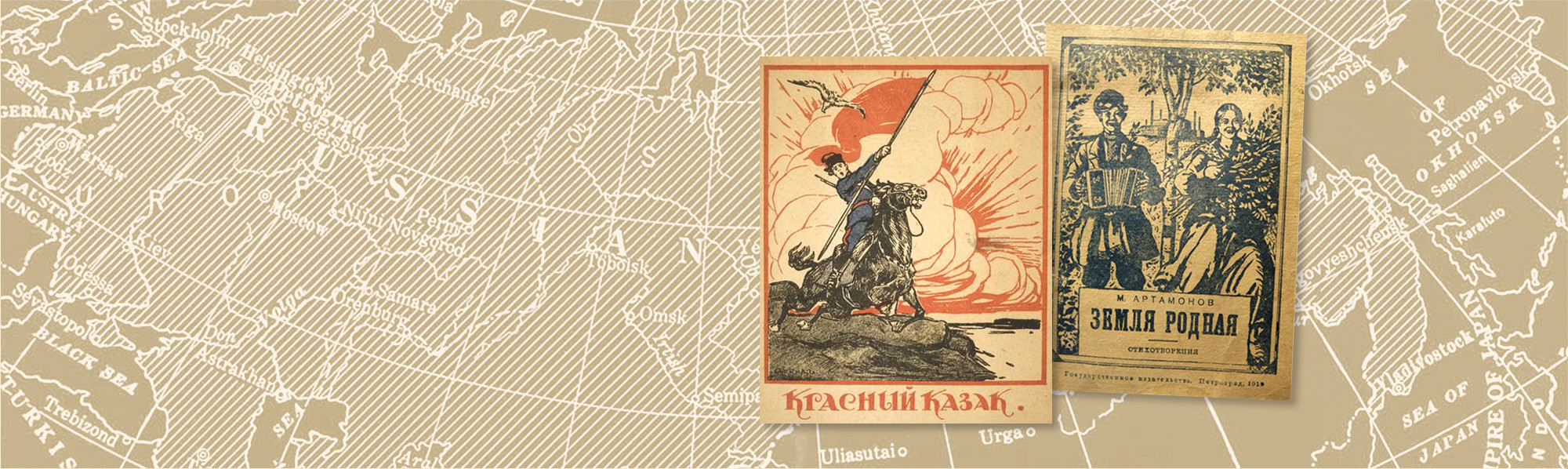
The MAPRR corpus started to develop in 2014 during a seminar on Russian literary cartography of World War I and the civil war that Edith Clowes taught at the University of Heidelberg. For that seminar students read well-known classics written during or just after the war years, for example, Anna Akhmatova’s Roadside Weed (Podorozhnik), Mandel’shtam’s Tristia, Isaak Babel’s Red Cavalry stories (Konarmia), Marina Tsvetaeva’s Encampment of Swans (Lebedinyi stan), as well as novels by Mikhail Sholokhov, Aleksandr Fadeev, and Boris Pasternak, set in the world war and civil war years but written later. Students used readily available cartographic and textual tools such as Google Earth and Voyant to map and analyze geospatial imagery.
The best bibliography to date of twentieth-century Russian literature—the 2007 Turchinskii bibliography, Russian Poets of the Twentieth Century—made it possible to embrace Russian imagined geography in the war years in a way that reached far beyond a few world-class writers. Clowes speculated that a more inclusive study would open to view a greater variety of imagined geographies and ones that no longer honored the political centralization desired by Russia’s rulers. It would be possible to take literary research well beyond the two capital cities. This study would encompass all available spatially oriented works written during these nine years but exclude later work built more on memory than immediate experience. Now novels by Fadeev, Sholokhov, and Pasternak became irrelevant.
The next four years were spent finding and sifting through thousands of works to build a corpus of works that emphasized geospatial imagery. The Hoover Archives and Virginia, Stanford, Berkeley, and Novosibirsk libraries were particularly helpful in locating and scanning rare and little-known works. To pinpoint immediate responses not just in time but also in place—and to give this study a more manageable scope—Clowes decided to include in the corpus only works written on Russian terrain. Other territories of the empire were excluded; so, now, Babel’s Red Cavalry fell away. Delimiting in this way, she hypothesized, would lend much greater spatial, temporal, and emotional immediacy, without the overlay of memory, emotional regime, and the changes and shifts that those forces bring with them.
Working with the digital humanities team at the Institute for Advanced Technology in the Humanities (IATH) at the University of Virginia, headed by professor of computer science Worthy Martin, over months and years the MAPRR group figured out how to translate the idea of bridging physical and imagined geography by building concepts and then turning them into numbers that XML could read and represent on the website, both as textual tags (each containing a PBC and an MM) and as maps and graphs. To start the process of gathering and winnowing out “significant” spatial images it was easiest to compile what Clowes called a “go” list of all spatial words that she wanted to tag and analyze for type, scale, and political and emotional valence. From that list she made a large Excel spreadsheet defining PBCs and listing out textual instances for each PBC. That and many other Excels with other author, work, publication, location, and multivalent marker data were eventually uploaded into the database and are now displayed on the MAPRR website.
The MAPRR group then confronted the divide between spatial imagery that was in some sense “mappable,” that appears on physical maps through latitude and longitude markers, and abstract spatial imagery—“floating signifiers,” such as “home” or “Rus” (the ancient name for the East Slavic lands), or even “Russia” itself—that cannot be mapped. Whether locations or abstractions—all these images mean something slightly different to each person. Having created the world map on the Geography homepage, which shows all historical and textual instances of a physical location, the MAPRR project required a higher-powered concept that, along with the PBC, does the work of bridging physical space and imagined place. Eventually all of these textual spatial images were designated as “multivalent markers”—for both kinds of image, mappable or abstract. The group created “MM” numbers for all spatial imagery that were then attached to the PBC tag as something called an “n-attribute.” In that way the actual image, whether physical or abstract, is immediately connected to the imagined characteristics of genre, type, scale, politics, and feeling, in a word, deploying the actual PBC tag to build the bridge between physical and imagined geography.
Visualizing the relationships between authors, works, PBCs, and MMs became the next big challenge. Inspired by Franco Moretti’s Graphs, Maps, Trees (2005), Clowes first thought of PBC components as trees that could be built out from the original stem of “space” then to “genre” and on to “type” and so forth, ending with individual “feeling” and then listing all the textual instances. Subsequently it became clear that “trees” were too simple a metaphor because of the frequent—and compelling—shared components among type, scale, politics, and feeling. All these PBC components weave together in ways more complicated than even Moretti’s cultural trees do (Moretti, 2005, 79). They are perhaps more like matrices. For example, pro-revolutionary politics and a specific feeling, such as “hope,” might appear in several different types and scales of place. And the feeling of hope spans many other political inclinations—tsarist, nationalist, regionalist, and Bolshevik alike. After Clowes devised the idea of the “place-based concept,” the IATH team led by Worthy Martin accommodated this complexity of overlapping components by visualizing relationships between PBC components and MMs in terms of not a tree but two kinds of graph, a “force-directed” graph (FDG) and a “parallel component” graph. Force-directed graphs connect two elements or “nodes” through an “edge,” or a line, that represents some connector—typically a shared PBC. For example, FDGs can visualize authors connections to place (multivalent marker), or one author to other authors, or a multivalent marker (spatial image) to any PBC component—all of them through a shared PBC. The surplus value of the FDG is that it has a magnet-like valence. Nodes that share at least one PBC are attracted to each other, while those that share nothing are repelled from each other. This capability enables us to see likenesses among works, whether through shared places, PBCs, or specific PBC components. Thus, we come closer to defining emotional networks around some notion of place.
The maps (on the MAPRR menu bar on Geography tab) and bar graphs (on individual author, PBC, and MM home pages) provide additional visual images. The Analysis tab on the MAPRR menu bar offers three kinds of graphs that are easily generated to visualize interrelationships. Two are force-directed graphs and one is a tripartite graph. One FDG shows relationships between multivalent markers and authors (i.e. what meaningful places a writer mentions), and the other shows interaction between individual PBC components and multivalent markers (i.e. what emotional, political, or typological values are connected to a meaningful place).
The third constructed graph, the parallel coordinates graph, allows the user to see immediate connections between authors, PBCs, and multivalent markers (MMs, textual spatial images). If one selects all authors, MMs, and PBCs, the graph shows a confusing, rainbow-colored spaghetti of lines linking the three elements. This kind of graph will prove pivotal, however, for visualizing the PBCs and MMs shared in works by a smaller ensemble of authors; the authors and MMs relating to a specific PBC or small number of PBCs; or, alternatively, the PBCs and authors connected to one or more MMs.
After three years of concentrated work the MAPRR team now offer to the public a fully functional MAPRR website that allows any user to visualize and interpret a large number of spatial images and to draw more broadly based conclusions than was possible before, and which, we hope, will be relevant to researchers across the humanities and social sciences. Working through the various typologies of imagined geography has led to exciting findings, ranging from real insight into the typical spatial perceptions of the two “book-end” emotional regimes—tsarist and Bolshevik. Exciting, too, is the increasingly urgent and varied sense of place that finds expression in these hundreds of works. Using MAPRR brings imagined geographical Russia to life like never before, allowing users, among other things, to uncover the place-based emotional communities hidden by tsarist and then later Bolshevik emotional regimes.